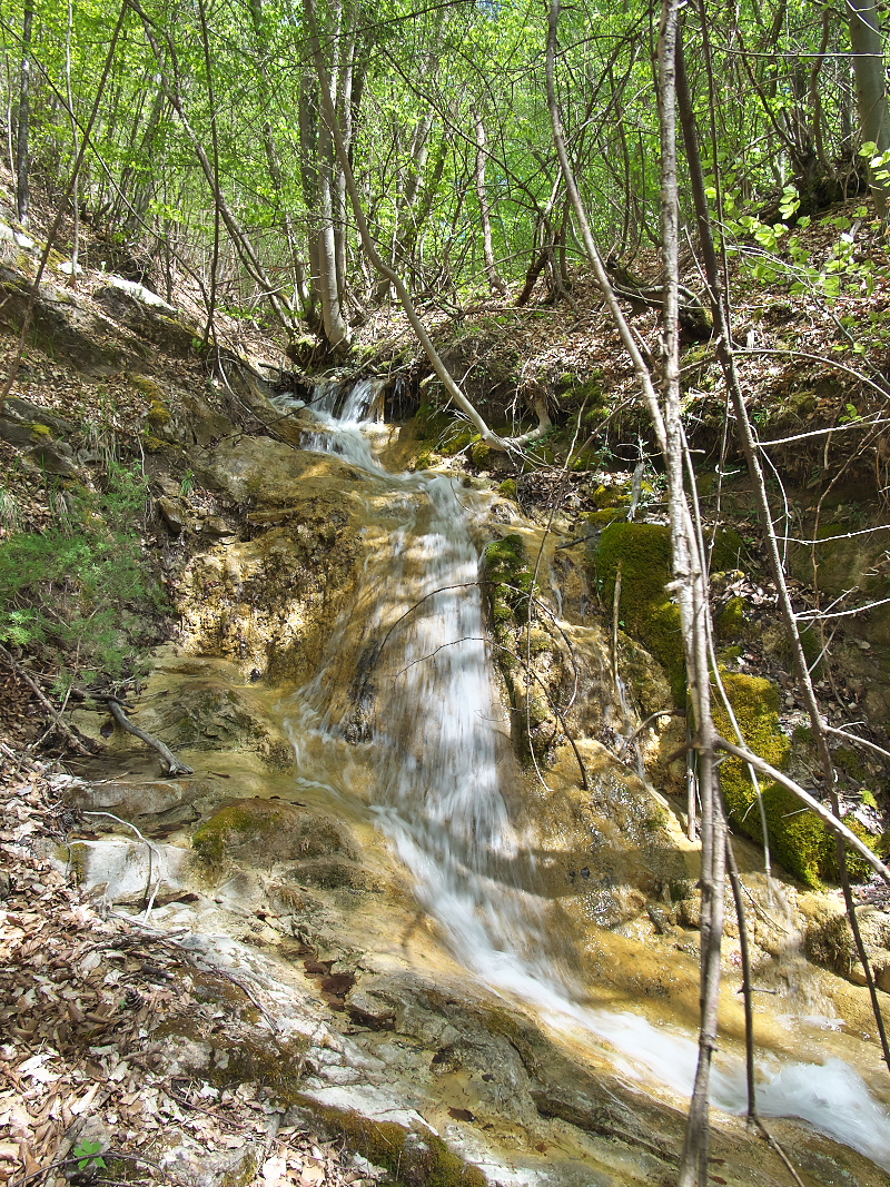
Chechkovitza Lower waterfall
West Rhodope
Verified
Last updated: 28.09.2026
Details
River basin
Maritsa - Chepelare River
Flow
Perennial
Access
Moderate
Mountain
Rhodope Mountains
Region
Smolyan
Flow Rate
Low flow
Shape
Tiered
Height
3.50 m
Coordinates
41.8348400, 24.6856000
Description
Photo by Dimitar Rashev
Note: The creek probably has a constant flow, because on the map there is a spring marked at the beginning, and below there is a weir with a water intake. There is a trail.
Map
Weather
Monday

19° / 7°
Few clouds
Tuesday

18° / 10°
Overcast clouds
Wednesday

14° / 9°
Light rain
Thursday
15° / 8°
Few clouds