Derin Bent Waterfall
Forebalkan and Danubian plain
Verified
Last updated: 15.06.2026
Details
River basin
Yantra - Rositsa
Flow
Seasonal
Access
Difficult
Mountain
Forebalkan
Region
Gabrovo
Flow Rate
Low flow
Shape
Segmented
Coordinates
43.0852293, 25.1366613
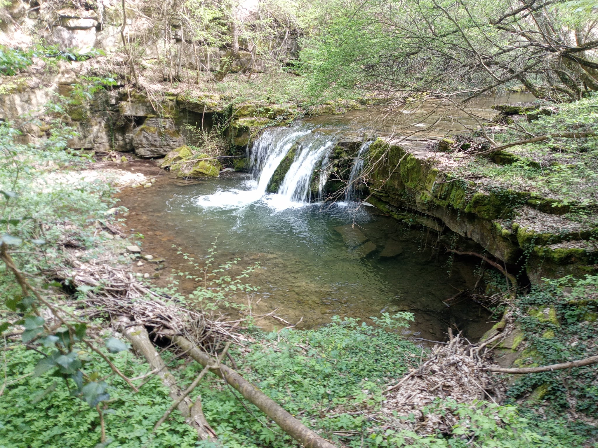
Description
Height 3 m.
Photo by Borislav Borislavov
Map
Weather
Monday

24° / 16°
Light rain
Tuesday

25° / 15°
Light rain
Wednesday

28° / 15°
Clear sky
Thursday

23° / 16°
Scattered clouds