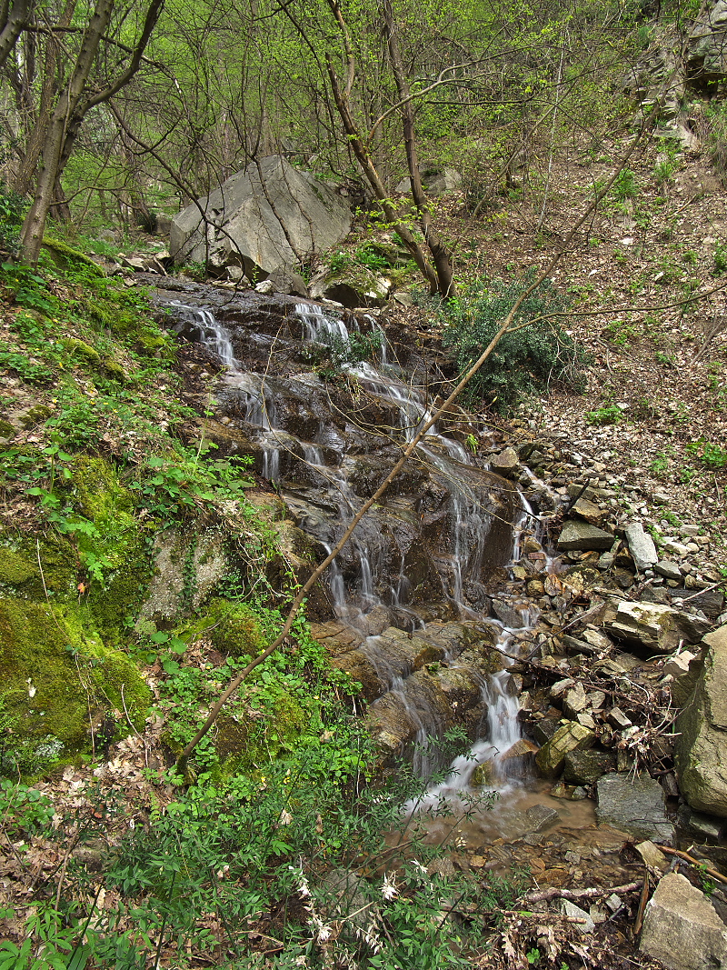
Ka-ski Dol Waterfall
West Rhodope
Verified
Last updated: 29.06.2026
Details
River basin
Maritsa - Chepelare River
Flow
Seasonal
Access
Difficult
Mountain
Rhodope Mountains
Region
Plovdiv
Flow Rate
Low flow
Shape
Tiered
Height
4.00 m
Coordinates
41.9574500, 24.8587900
Description
Photo by Dimitar Rashev
Note: verification with the locals is required for the name of the ravine. It is not readable on the topographic map.
Map
Weather
Monday

30° / 17°
Clear sky
Tuesday

30° / 18°
Clear sky
Wednesday
30° / 17°
Clear sky
Thursday

28° / 16°
Broken clouds
Nearby waterfalls
| Name | Distance | Actions |
|---|---|---|
| Водопад Рибаров дол | 0.9 km | View |
| Бачковски водопад | 1.9 km | View |
| Широкия водопад (Луковица) | 2.9 km | View |
| Долен водопад вада Тодорови ниви | 3.1 km | View |
| Каскада вада Тодорови ниви | 3.3 km | View |
| Водопад вада Тодорови ниви | 3.3 km | View |
| Водопад вада Тодорови ниви 4 | 3.3 km | View |
| Водопад вада Тодорови ниви 5 | 3.4 km | View |