Home
Map
Waterfalls
Download
Articles
Contact
About
About
History
View the team
EN
BG
×
Waterfall Details
Loading...
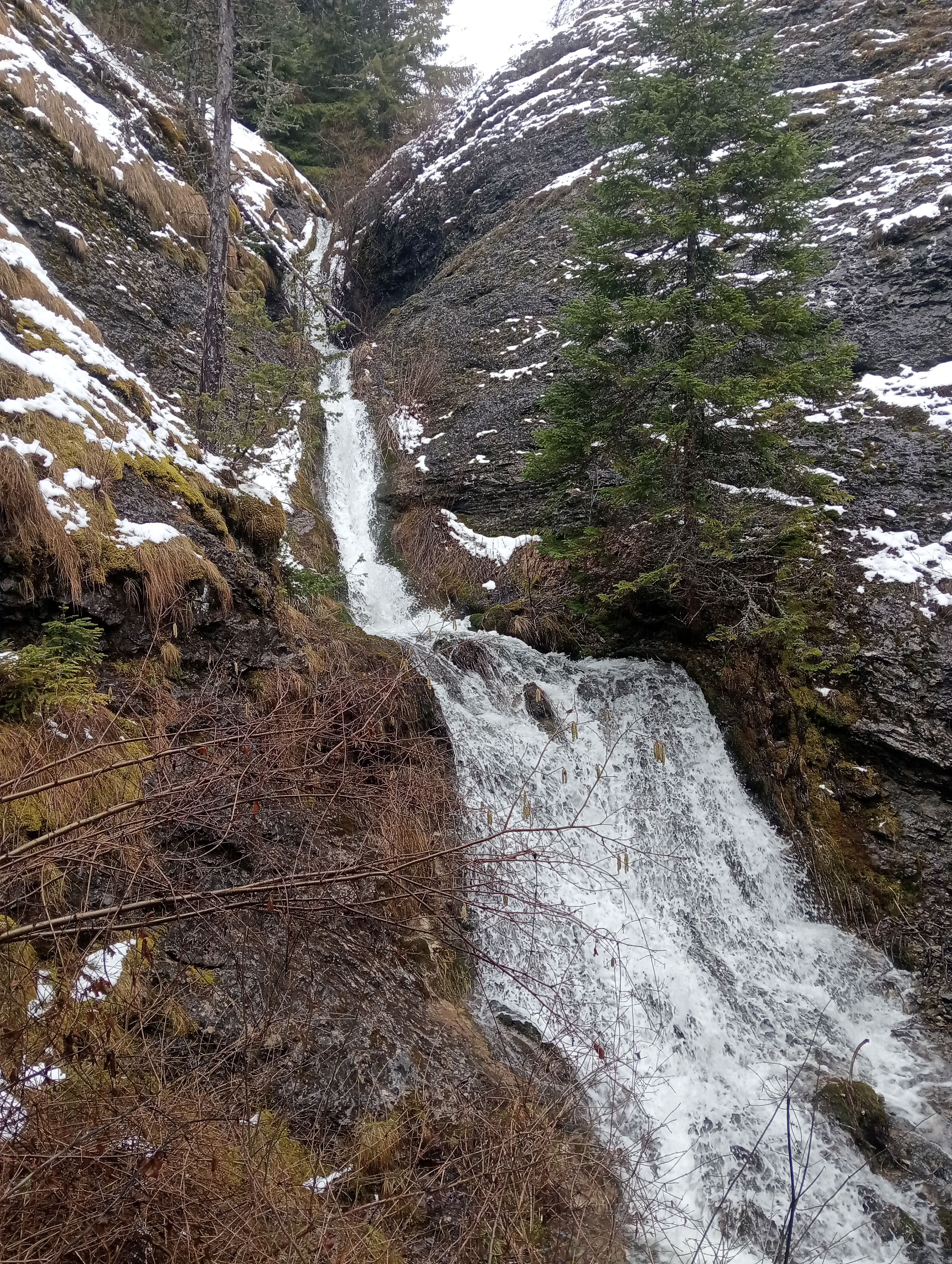
Kosten Kamak Upper Waterfall
West Rhodope
Verified
Last updated: 29.06.2026
Share
Google Maps
Directions
Report
To Map
Details
River basin
Maritsa - Chepelare River
Flow
Perennial
Access
Moderate
Mountain
Rhodope Mountains
Region
Smolyan
Flow Rate
Low flow
Shape
Tiered
Height
10.00 m
Coordinates
41.8480800, 24.6142500
Rating
0.0
(
0
ratings)
Your rating:
Map
Weather
Monday
26°
/ 13°
Clear sky
Tuesday
26°
/ 14°
Few clouds
Wednesday
26°
/ 13°
Clear sky
Thursday
24°
/ 12°
Overcast clouds
Nearby waterfalls
Name
Distance
Actions
Водопад Костен камък (Долен)
0.0 km
View
Водопад Скакалото
1.7 km
View
Водопад Ковачев дол
1.7 km
View
Горен водопад Мечата вода
2.3 km
View
Долен водопад Мечата вода
2.3 km
View
Водопад Дуплево
2.4 km
View
Водопад Орештица
2.9 km
View
Долен водопад Ганчарско дере
3.0 km
View
Share
Open in Google Maps
Get Directions
Report an Issue
Back to Map
Details
River basin
Maritsa - Chepelare River
Flow
Perennial
Access
Moderate
Mountain
Rhodope Mountains
Region
Smolyan
Flow Rate
Low flow
Shape
Tiered
Height
10.00 m
Coordinates
41.8480800, 24.6142500
Report an Issue
Issue Type
Select...
Wrong Category
Wrong River
Wrong Status
Wrong Access Type
Wrong Name
Wrong Location
Wrong Description
Wrong/Missing Images
Other Issue
Description
Attach Images (optional)
Max: 5MB per image
Your Name
Your Email