Home
Map
Waterfalls
Download
Articles
Contact
About
About
History
View the team
EN
BG
×
Waterfall Details
Loading...
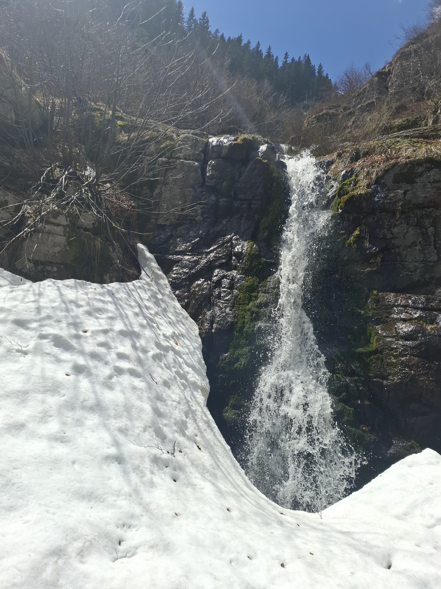
Milina Reka Upper Waterfall
West and East Balkan
Verified
Last updated: 15.06.2026
Share
Google Maps
Directions
Report
To Map
Details
River basin
Danube - Ogosta
Flow
Perennial
Access
Difficult
Mountain
Balkan Mountains
Region
Montana
Flow Rate
Low flow
Shape
Horsetail
Coordinates
43.3144450, 22.8399968
Description
Height 6 m.
Photo by Daniela Pomakova
Rating
0.0
(
0
ratings)
Your rating:
Map
Weather
Monday
14°
/ 5°
Light rain
Tuesday
16°
/ 5°
Scattered clouds
Wednesday
15°
/ 6°
Scattered clouds
Thursday
12°
/ 6°
Scattered clouds
Nearby waterfalls
Name
Distance
Actions
Водопад Милина река 9
0.0 km
View
Водопад Равно буче 1
0.3 km
View
Водопад Равно буче 2
0.3 km
View
Водопад Равно буче 3
0.3 km
View
Водопад Милина река 8
0.4 km
View
Водопад Милина река 7
0.4 km
View
Водопад Милина река 6
0.5 km
View
Водопад Милина река 5
0.5 km
View
Share
Open in Google Maps
Get Directions
Report an Issue
Back to Map
Details
River basin
Danube - Ogosta
Flow
Perennial
Access
Difficult
Mountain
Balkan Mountains
Region
Montana
Flow Rate
Low flow
Shape
Horsetail
Coordinates
43.3144450, 22.8399968
Report an Issue
Issue Type
Select...
Wrong Category
Wrong River
Wrong Status
Wrong Access Type
Wrong Name
Wrong Location
Wrong Description
Wrong/Missing Images
Other Issue
Description
Attach Images (optional)
Max: 5MB per image
Your Name
Your Email