Home
Map
Waterfalls
Download
Articles
Contact
About
About
History
View the team
EN
BG
×
Waterfall Details
Loading...
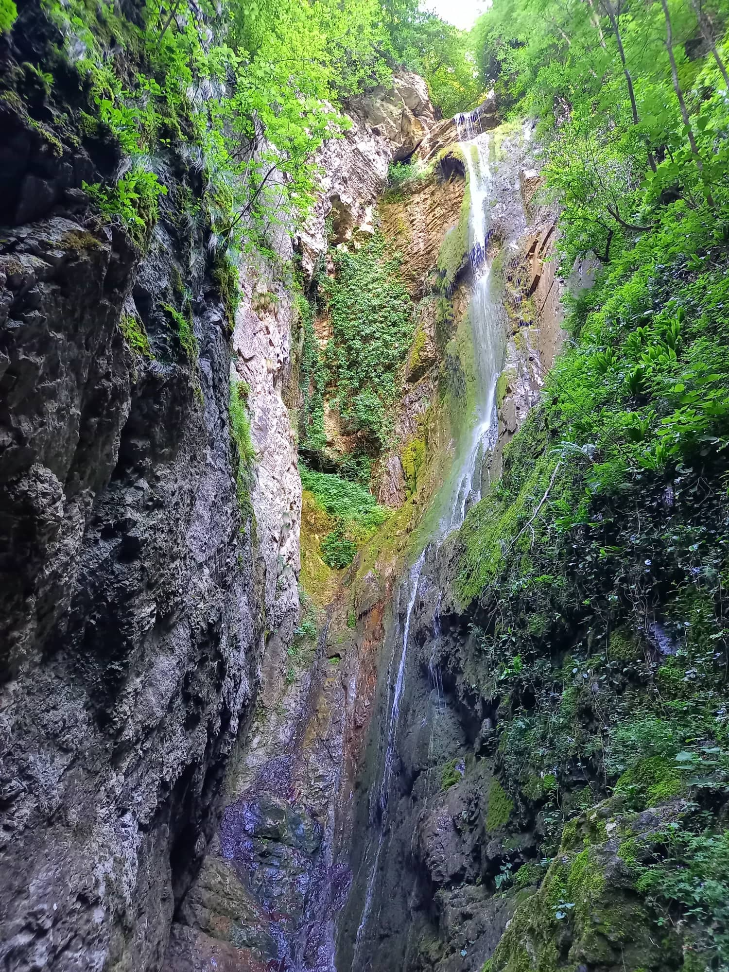
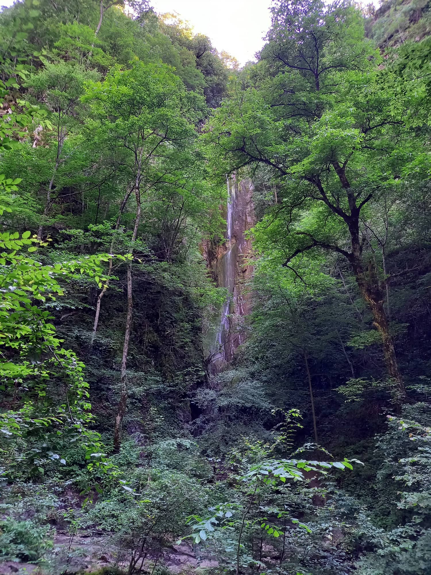
Praskaloto Waterfall
Forebalkan and Danubian plain
Verified
Last updated: 15.06.2026
Previous
Next
Share
Google Maps
Directions
Report
To Map
Details
River basin
Danube - Vit
Flow
Seasonal
Access
Moderate
Mountain
Forebalkan
Region
Lovech
Flow Rate
Low flow
Shape
Ribbon
Coordinates
42.8896173, 24.2503533
Description
Height 40 m.
Photos by Radoslav Raykov
Rating
0.0
(
0
ratings)
Your rating:
Map
Weather
Monday
20°
/ 12°
Light rain
Tuesday
21°
/ 11°
Light rain
Wednesday
21°
/ 12°
Scattered clouds
Thursday
18°
/ 11°
Few clouds
Nearby waterfalls
Name
Distance
Actions
Водопад Скока (Тетевен)
0.0 km
View
Водопад Козница
0.2 km
View
Водопад Свинската река
7.8 km
View
Водопад Безименен Костина
9.7 km
View
Гложенски водопад
10.3 km
View
Гушев водопад 15
13.7 km
View
Гушев водопад 14
14.0 km
View
Гушев водопад 13
14.0 km
View
Share
Open in Google Maps
Get Directions
Report an Issue
Back to Map
Details
River basin
Danube - Vit
Flow
Seasonal
Access
Moderate
Mountain
Forebalkan
Region
Lovech
Flow Rate
Low flow
Shape
Ribbon
Coordinates
42.8896173, 24.2503533
Report an Issue
Issue Type
Select...
Wrong Category
Wrong River
Wrong Status
Wrong Access Type
Wrong Name
Wrong Location
Wrong Description
Wrong/Missing Images
Other Issue
Description
Attach Images (optional)
Max: 5MB per image
Your Name
Your Email