Home
Map
Waterfalls
Download
Articles
Contact
About
About
History
View the team
EN
BG
×
Waterfall Details
Loading...
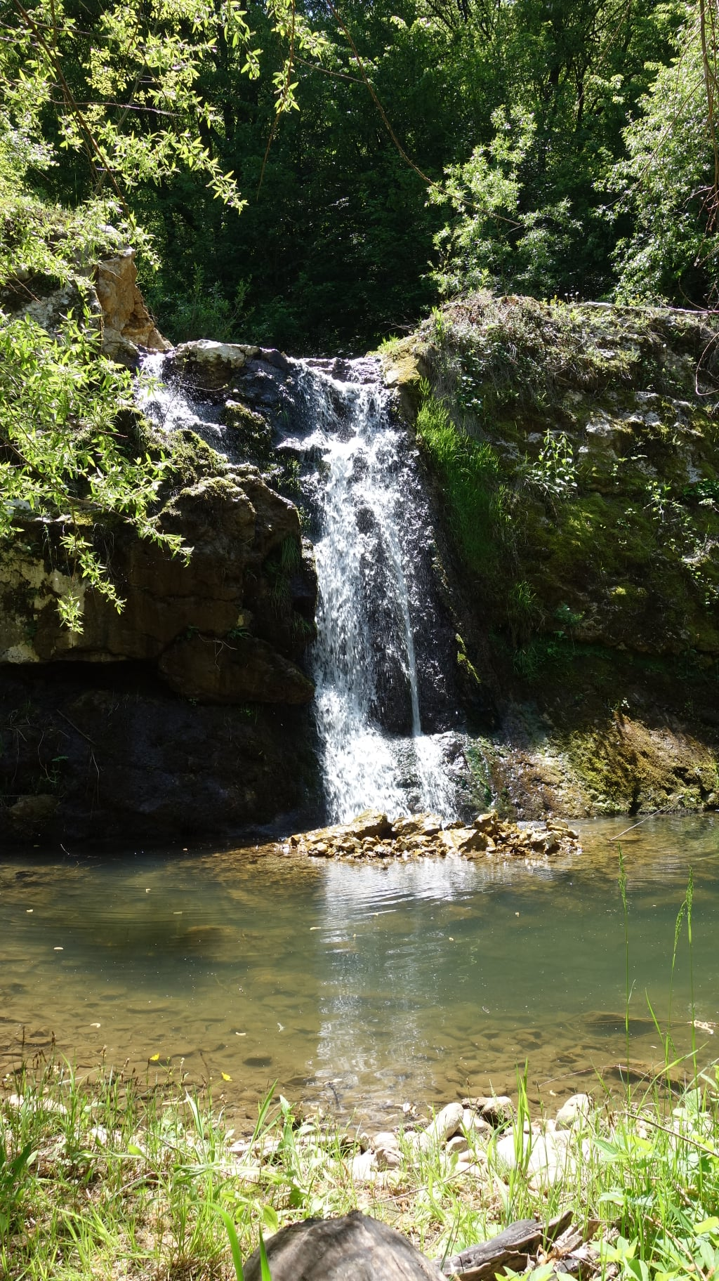
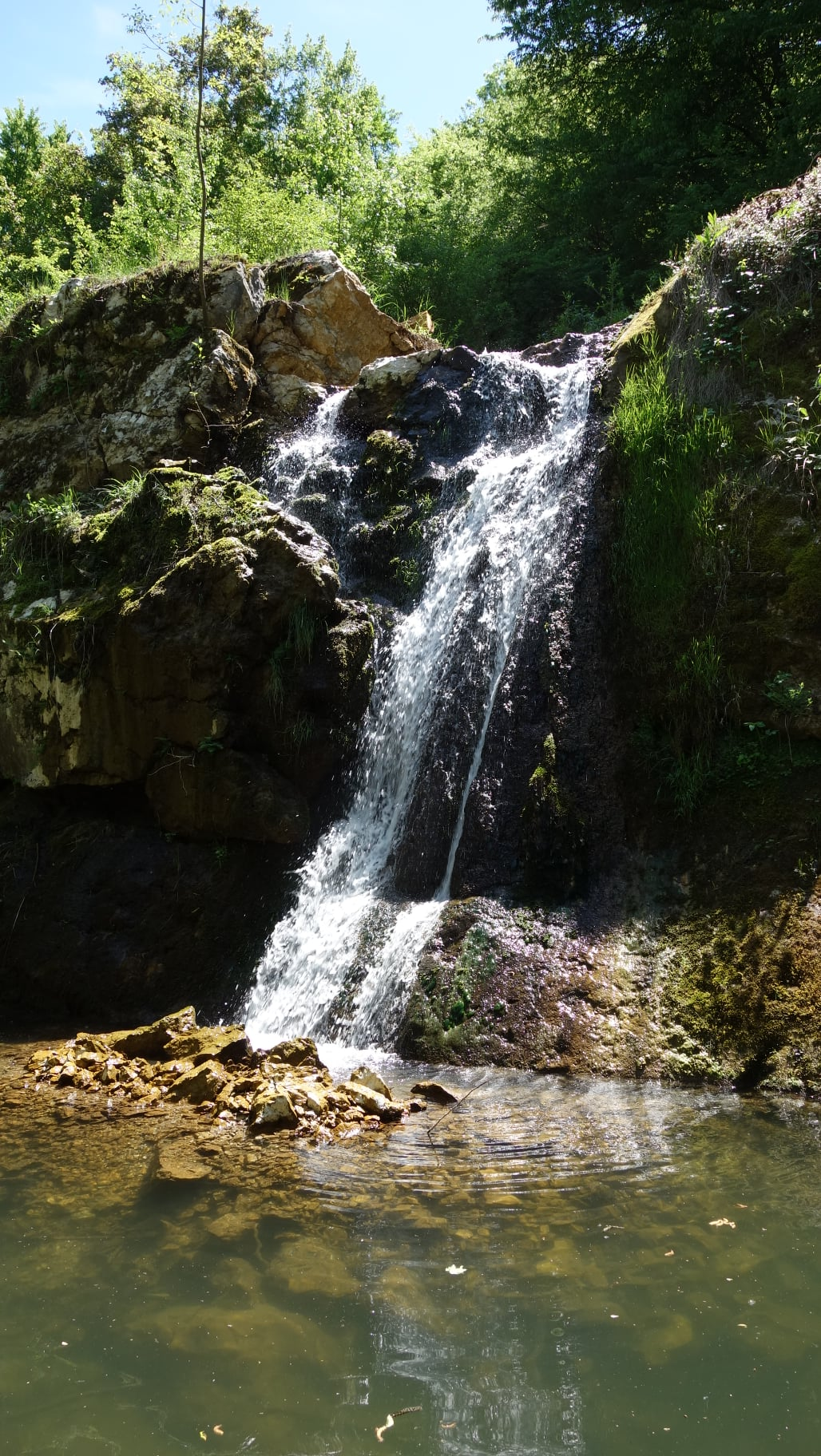
Skokov Dol (Slavshitsa) Waterfall
Forebalkan and Danubian plain
Verified
Last updated: 15.06.2026
Previous
Next
Share
Google Maps
Directions
Report
To Map
Details
River basin
Danube - Vit
Flow
Perennial
Access
Difficult
Mountain
Forebalkan
Region
Lovech
Flow Rate
Low flow
Shape
Ribbon
Coordinates
43.0553000, 24.2963610
Description
Height 5 m.
Photos by Georgi Pantaleev
Rating
0.0
(
0
ratings)
Your rating:
Map
Weather
Monday
23°
/ 15°
Light rain
Tuesday
24°
/ 14°
Light rain
Wednesday
25°
/ 15°
Clear sky
Thursday
22°
/ 15°
Clear sky
Nearby waterfalls
Name
Distance
Actions
Гложенски водопад
11.9 km
View
Извор Глава Панега
11.9 km
View
Share
Open in Google Maps
Get Directions
Report an Issue
Back to Map
Details
River basin
Danube - Vit
Flow
Perennial
Access
Difficult
Mountain
Forebalkan
Region
Lovech
Flow Rate
Low flow
Shape
Ribbon
Coordinates
43.0553000, 24.2963610
Report an Issue
Issue Type
Select...
Wrong Category
Wrong River
Wrong Status
Wrong Access Type
Wrong Name
Wrong Location
Wrong Description
Wrong/Missing Images
Other Issue
Description
Attach Images (optional)
Max: 5MB per image
Your Name
Your Email