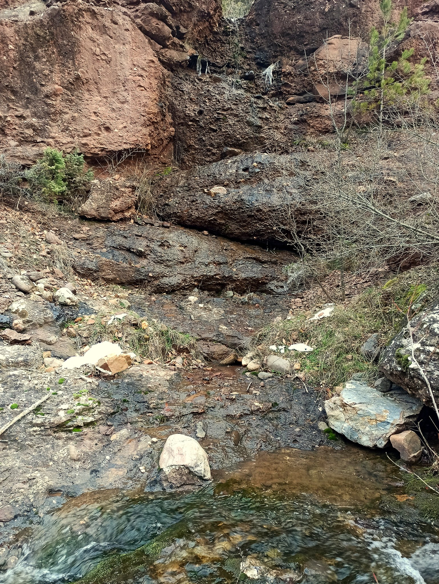
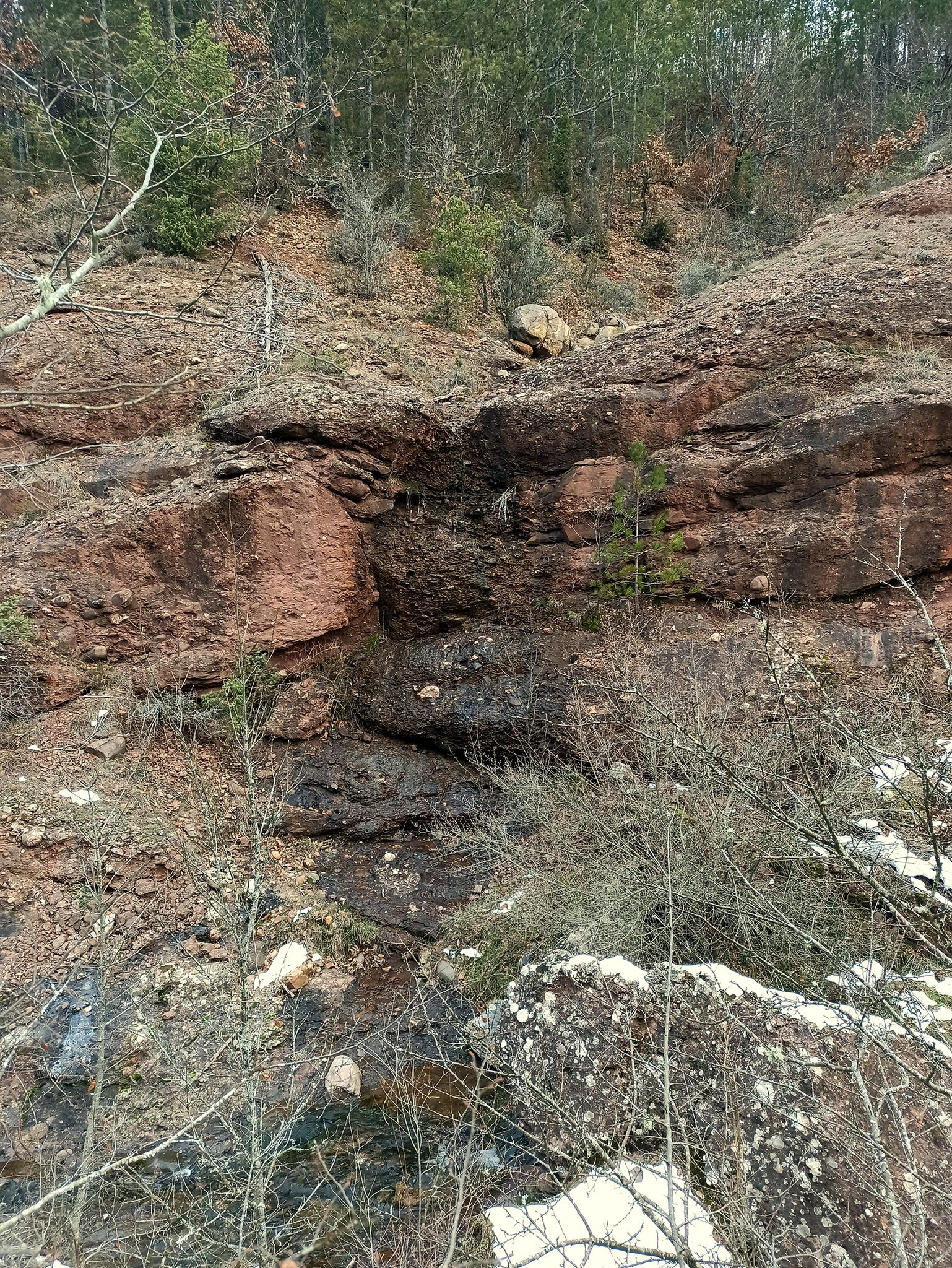
Tatar Alan Dere Waterfall
Details
Description
Height 6-7 m.
Photos by Kiril Nedelchev
Note: the waterfall was discovered while searching for the Bureshte waterfall. It is located on a short, right tributary of the Tatar Alan Dere River and actually has minimal flow during a very small part of the year. The waterfall itself is not impressive and an even greater paradox is that in the area where it is located, markers for a protected area have been noticed on the trees. In the national cadastre - https://kais.cadastre.bg/bg/Map, the Bureshte Protected Area is marked exactly at its location, while the more interesting waterfall, which we registered in our database as the Bureshte waterfall, is located here - a little further downstream along the Tatar Alan Dere River. So far, we have noticed a number of inaccuracies in the data and acceptance of these waterfalls as protected areas in 1960-1980, and we cannot be absolutely sure of the reliability of their information.
Map
Weather
Sunday

Monday

Tuesday
Wednesday