Home
Map
Waterfalls
Download
Articles
Contact
About
About
History
View the team
EN
BG
×
Waterfall Details
Loading...
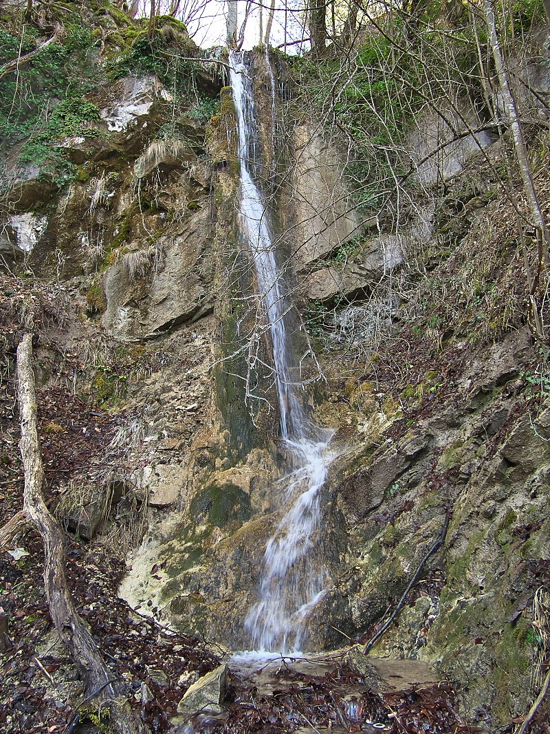
Yugovsko Padalo Upper Waterfall
West Rhodope
Verified
Last updated: 28.06.2026
Share
Google Maps
Directions
Report
To Map
Details
River basin
Maritsa - Chepelare River
Flow
Seasonal
Access
Difficult
Mountain
Rhodope Mountains
Region
Plovdiv
Flow Rate
Low flow
Shape
Ribbon
Height
10.90 m
Coordinates
41.8931300, 24.8046600
Description
Photo by Dimitar Rashev
Rating
0.0
(
0
ratings)
Your rating:
Map
Weather
Monday
29°
/ 17°
Clear sky
Tuesday
29°
/ 19°
Few clouds
Wednesday
29°
/ 17°
Clear sky
Thursday
26°
/ 17°
Broken clouds
Nearby waterfalls
Name
Distance
Actions
Юговско падало
0.0 km
View
Водопад Лочката 3
3.2 km
View
Водопад Лочката 2
3.2 km
View
Водопад Сливовдолско падало
3.5 km
View
Водопад Сливов дол 6
3.5 km
View
Водопад Аязмото
3.5 km
View
Водопад Лочката
3.5 km
View
Водопад Сливов дол 3
3.6 km
View
Share
Open in Google Maps
Get Directions
Report an Issue
Back to Map
Details
River basin
Maritsa - Chepelare River
Flow
Seasonal
Access
Difficult
Mountain
Rhodope Mountains
Region
Plovdiv
Flow Rate
Low flow
Shape
Ribbon
Height
10.90 m
Coordinates
41.8931300, 24.8046600
Report an Issue
Issue Type
Select...
Wrong Category
Wrong River
Wrong Status
Wrong Access Type
Wrong Name
Wrong Location
Wrong Description
Wrong/Missing Images
Other Issue
Description
Attach Images (optional)
Max: 5MB per image
Your Name
Your Email